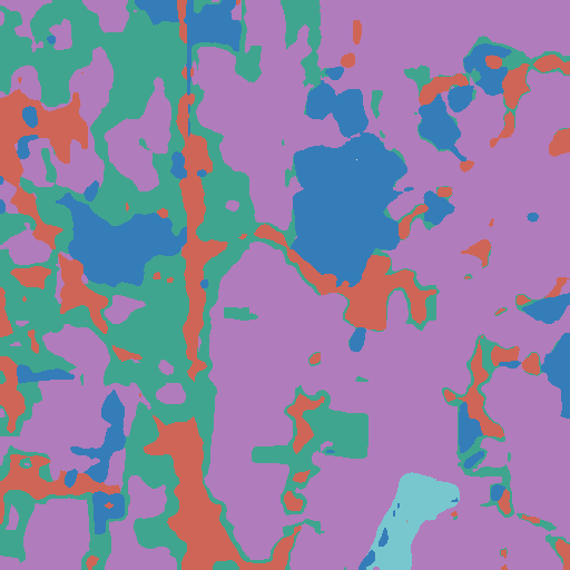
Class map
class_map.tif
Land-cover classes, ready for QGIS or Rasterio.
AUREON / CONSOLE
Preview the scene. Download georeferenced outputs.
Land-cover mapping from Sentinel-2.
View the workflow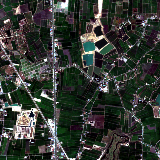
RGB preview only. The model input has twelve bands.
Apply the validity mask before analysis.
| ID | Class | Valid pixels |
|---|---|---|
| 0 | Maize | 0 |
| 1 | Sugarcane | 0 |
| 2 | Cassava | 0 |
| 3 | Rice | 56,692 |
| 4 | Other Crops | 140,789 |
| 5 | Water | 30,262 |
| 6 | Trees | 0 |
| 7 | Flooded Veg. | 3,497 |
| 8 | Built Area | 30,900 |
| 9 | Other | 3 |
OUTPUT FILES
class_map.tif
Land-cover classes, ready for QGIS or Rasterio.
valid_mask.tif
Use with the class map to exclude invalid pixels.
Loading outputs…